
The Met Office has downplayed the chances of snow in the UK after an icy blast swept across parts of Europe this week. Residents in the western Balkans woke up to a blanket of snow, prompting speculation that northern areas of Britain might soon experience similar conditions. However, the forecaster confirmed there is “no significant snow in the immediate forecast”, disappointing those hoping for an early glimpse of winter.
++ John Swinney welcomes Gaza ceasefire deal but urges all sides to honour agreement
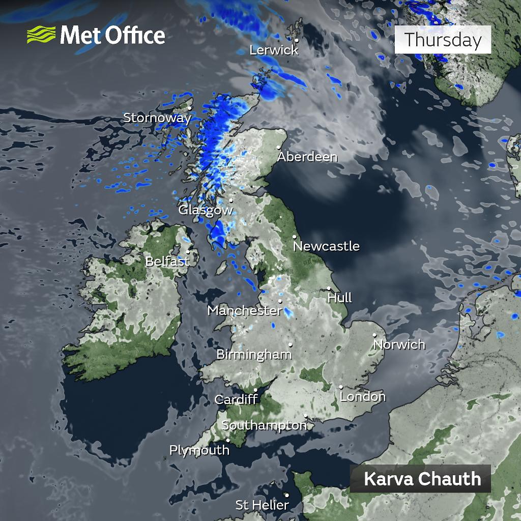
Stephen Dixon, a Met Office spokesperson, said the current outlook suggests a largely settled period of weather dominated by high pressure. “There are varying amounts of cloud and drizzle at times, more likely in the north-west over the weekend,” he explained. “To start next week, there will also be some drizzle around south-east and central England, with a mixture of cloud and sunny spells. We’re in a settled period of weather, with temperatures expected to remain in the mid-teens.”
He added that while no snow is currently expected, the likelihood will gradually rise as the month progresses. “As we move through later October, chances increase, but that’s simply due to our typical climate,” Mr Dixon said. The Met Office’s long-range forecast for the rest of the month predicts unsettled and grey conditions, with rain, drizzle and wind likely to dominate at times before high pressure brings drier spells. Overnight fog and occasional frost are also possible, particularly in rural areas.
++ Prince William and Prince Harry to mark Queen’s anniversary with separate UK engagements
From Friday through to Monday, the forecast points to mostly calm conditions under the influence of high pressure. The Met Office expects light winds, patchy fog, and near-average daytime temperatures, though nights may feel chilly. Thicker cloud and outbreaks of rain are likely to affect parts of western Scotland and Northern Ireland, while southern regions should remain largely dry with occasional sunshine.