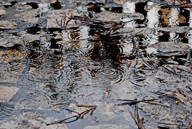


The Met Office has issued an amber weather warning for flooding, cautioning that heavy rain could pose a “danger to life” as severe conditions sweep across parts of the UK. Forecasters say the most intense rainfall will hit south Wales from late Sunday through to Monday night, with between 60 and 80mm expected widely and isolated areas potentially seeing up to 120mm. Flooding, significant travel disruption and power outages are considered likely, while fast-flowing or deep floodwater may create life-threatening conditions.
++ The peregrine falcon: nature’s fastest killer in the sky
The alert follows a series of yellow warnings over the weekend, with rain and icy spells affecting the East Midlands, the North East, the North West, the West Midlands, and Yorkshire and the Humber on Saturday.
Meteorologists warned that several bands of heavy rain could continue to bring disruption into early next week, with 50 to 60mm possible in some areas alongside strong winds. Following Saturday’s downpours, temperatures are expected to fall below freezing on Sunday, leading to slippery and icy road conditions.
The amber warning is set to take effect from midnight on Monday, lasting for 24 hours, while additional yellow rain warnings will be introduced at the same time for London, the South East, the South West, the West Midlands, the North West, and Yorkshire and the Humber. These are due to expire at 3am on Tuesday.
In a statement, the Met Office said: “A developing low-pressure system pushing across the south on Saturday will bring some rain, strong winds and even a bit of hill snow. Sunday looks drier and brighter for most before more unsettled weather arrives in time for the start of Advent. We are going to possibly see a bit of sleet and snow over the high ground, particularly around the South Pennines.”
Met Office Forecast: Week Ahead
Today
Cloudy across England and Wales with a band of occasionally heavy rain moving north-eastwards, accompanied by strong winds for a time. Brighter and colder in Northern Ireland and Scotland, with scattered showers, wintry over high ground.
Tonight
Rain clearing into the North Sea as strong winds linger in eastern areas. Elsewhere, drier with clear spells, widespread frost and patches of ice.
Sunday
A drier, brighter and colder day. Winds easing in the east, with showers mainly affecting northern and western regions. Cloud increasing in Northern Ireland, with rain arriving by the evening.
++ Ioan Gruffudd and Bianca Wallace welcome daughter Mila Mae
Outlook: Monday to Wednesday
Heavy rain and brisk winds will push through on Monday. Tuesday and Wednesday will bring sunny intervals and blustery showers, most frequent in the west. Temperatures will remain close to the seasonal average.